Category:Interventions, Mining and Mineral Extraction
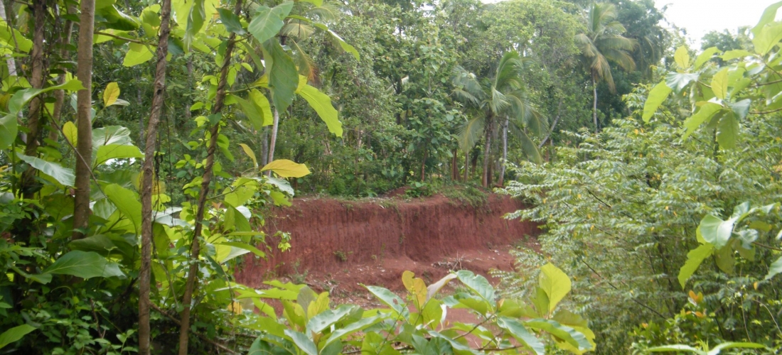
Panirendawa forest reserve is a dry monsoon forest that is under the Divisional Secretariat of Madampe in Puttalam district consisting an area of 359ha. This forest reserve contains dry zone perennial trees and regenerative vegetation. At the same time, these dry zone forest patches are habitats for reptiles, mammals and bird species.
Panirendawa forest reserve is also known for its geological and archaeological importance. There are several iron deposits within the reserve and these are believed to have been utilised by Sri Lanka’s ancient kings to construct their kingdoms. The forest reserve was also surrounded by several houses with gardens which were adjacent to a Teak (Tectona grandis) plantation.
Followed by a complaint received against illegal soil extraction within the Panirendawa forest reserve, a team from EFL visited the surroundings of the reserve to get an understanding of the ground situation. Apart from direct observations and the obtaining of the required coordinates, villagers were consulted in gathering information.
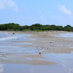
Even though there were several sign posts erected along the boundary of the forest reserve denoting the land extent and ownership, there were 04 abandoned sites of gravel mining within, as well as in close proximity to the boundary. It was observed that a land extent of about 20 acres had been cleared for excavation.
One of the sites had even contained a garbage dump. According to the villagers, soil extraction had been carried out 3-4 years back illegally within the forest reserve but was not taking place anymore. This was further confirmed by our observations of the abandoned pits, consisting of re-grown vegetation.
In addition, some of the villagers stated that one particular developer had tried to revoke his mining license about a month ago, but his efforts had been futile. Cultivations such as Thibbatu and Betel leaves were also spotted in the area; however, they seemed to have been cultivated on encroached land. Betel leaf cultivators were highly against soil extraction as it brought a negative impact on their crops affecting the water resources utilised for cultivation.
Using the coordinates obtained via the observed sites and the forest boundary, EFL team developed a map on Google Earth to determine the sites that were within and outside the forest reserve. Forest Reserve boundaries used were from the WDPA database, 2013 data.
Access the site visit report to read about the full investigation